486
FXUS65 KFGZ 251114
AFDFGZ

Area Forecast Discussion
National Weather Service Flagstaff AZ
414 AM MST Sat Apr 25 2026

.SYNOPSIS...A weak weather disturbance will deliver cooler
temperatures and breezy to windy conditions this weekend, along
with a chance of showers tonight into Sunday. Some light snow is
possible above around 6500 feet elevation. Breezy and dry weather is
expected Monday through Wednesday, before more unsettled
conditions develop for the end of next week.

&&

.DISCUSSION...Gusty winds persist today as a trough moves onto
the west coast. Southwest winds 15-25 mph with gusts 30-40 mph are
forecast this afternoon and early evening. Temperatures today will
be a few degrees cooler, with increasing clouds by afternoon. The
trough will bring an increase in deeper moisture from west to
east by late afternoon through mid evening with a few showers
developing. Showers increase in coverage by late evening and
overnight due to large scale lift and upslope flow, leading to a
50-80% chance of showers by early Sunday morning. Colder air with
the trough will bring snow levels as low as 6500 feet by early
Sunday morning, with only light accumulation generally less than
1" currently forecast, and 2-5" over the highest peaks. Instability
appears low but an isolated thunderstorm can`t be ruled out
through Sunday afternoon. Much cooler temperatures arrive Sunday
with highs 10-15 degrees below normal. Sunday is also looking
windy as the trough passes, and gusts of 40-55 mph are likely
from the Mogollon Rim/White Mtns northward. A Wind Advisory has
been issued for these areas from 5 AM to 8 PM MST Sunday.

Monday through Wednesday - drier and warmer weather is expected
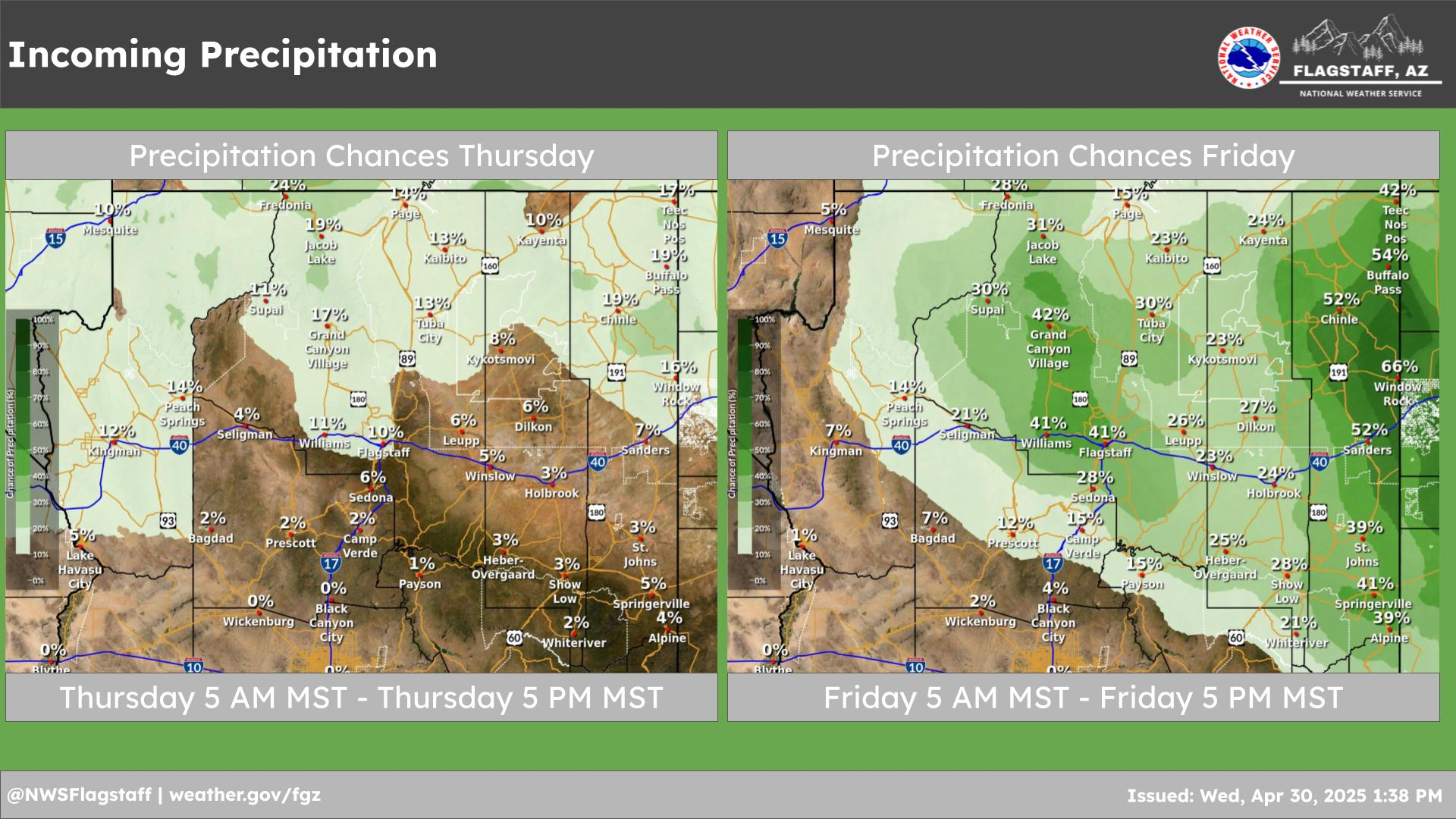
as the trough moves east of the state. By Thursday and Friday -
another low from off the Pacific could impact the state and bring
another chance of showers/t-storms. There is a quite a bit more
spread in the ensemble data with this one, so timing and precip
amounts are uncertain. Right now, our forecasts have the highest
precip chances on Thursday at 30-40%.

&&

.AVIATION...Saturday 25/12Z through Sunday 26/12Z...VFR
conditions most areas. Isolated -SHRA developing after 22Z, then
increasing in coverage from west to east after 06Z Sunday. Highest
coverage of showers through 12Z Sunday west of a KPAN-KRQE line.
MVFR and brief IFR in precipitation. Winds becoming S-SW 15-20
kts with gusts 25-35 kts after 15-18Z. SW wind remaining elevated
at 10-20 kts overnight.

OUTLOOK...Sunday 26/12Z through Tuesday 28/12Z...Scattered showers
through around 15Z Sunday, becoming more isolated through the
afternoon. -SHSN possible above 6500 ft msl, including KFLG/KGCN.
Showers and isolated thunderstorms will exit the area after 00Z
Monday with dry conditions the rest of the outlook period. Winds
SW 15-25 kts with gusts 30-45 kts Sunday, SW 5-15 kts Sunday
night, SW 10-20 kts with gusts 25-30 kts Monday.

&&

.FIRE WEATHER...Today and Sunday...Expect windy and cooler
conditions this weekend, with the highest wind speeds and coldest
temperatures on Sunday. An approaching cold front will spread rain
and high elevation snow showers with isolated thunderstorms across
the area tonight through Sunday morning. Activity will decrease
Sunday afternoon. Wetting rains will be tough to come by, the best
chance being over the western Mogollon Rim and the Kaibab Plateau.
Expect southwest winds 15-25 mph with gusts 30-40 mph today,
increasing to 20-30 mph with gusts 40-55 mph Sunday - highest in
east central Arizona.

Monday through Wednesday...Dry and warmer. Southwest wind 15-20 mph
with gusts up to 30 mph Monday, then 10-15 mph with gusts up to 25
mph over higher terrain for Tuesday and Wednesday.

&&

.FGZ WATCHES/WARNINGS/ADVISORIES...
Wind Advisory from 5 AM MST /6 AM MDT/ to 8 PM MST /9 PM MDT/
Sunday for AZZ009>017-039-040.

&&

$$

PUBLIC...JJ
AVIATION...JJ
FIRE WEATHER...JJ

For Northern Arizona weather information visit
weather.gov/flagstaff
NWS Flagstaff Office


